Texas is still in a drought, but the western half of the state keeps chipping away at it. On the map released Nov. 12, covering conditions as of Nov. 10, the U.S. Drought Monitor shows 54.0 percent of Texas in moderate drought or worse, down from 61 percent on the prior week’s map as reported by the Texas Water Development Board. Lee, Lee & Puckitt (LLP Ranchland), based in San Angelo, follows these maps for clients from the Panhandle to the Rio Grande, and this is where the rain helped, where it did not, and what it means for grass, tanks and ranch country out west.
The Nov. 10 Map, Category by Category
Drought.gov, posting the current Drought Monitor figures, puts 16.5 percent of Texas in abnormal dryness only, 30.5 percent in moderate drought, 16.7 percent in severe drought, 5.5 percent in extreme drought and 1.3 percent in exceptional drought. Add the last four and you get the 54.0 percent now in drought. The remaining exceptional and extreme drought is concentrated in East Texas, not in the ranch country west of US 281.
A week earlier, the board had reported that 61 percent of the state was in drought on the Nov. 3 map, the fifth straight week of contraction, with improvements in the Panhandle, Central and West Texas outweighing worsening conditions in the east. That next map is now out.
Where Western Counties Stand
Several counties west of US 281 are now off the drought map entirely, or nearly so. Bailey, Lamb, Parmer and Jeff Davis show no drought. Sherman County is down to a trace, 0.03 percent in moderate drought. Dimmit County is the clearest example of a one-week turn: severe drought fell from 76.26 percent of the county on Nov. 3 to 0.89 percent on Nov. 10, after a NOAA gauge south of Carrizo Springs recorded 4.88 inches from Nov. 5 through Nov. 11. About 84.8 percent of Dimmit still sits in at least moderate drought, so the work is not finished, but the worst category has almost been erased.
Knox County shows the other side. October ranked as the 10th wettest in 132 years there, and severe drought eased, yet 100 percent of the county remains in at least moderate drought. A wet month on a dry year does not always clear the map.
Statewide, Drought.gov ranks October as the 29th wettest since 1895, 1.31 inches above normal. January through October still ranks as the 57th driest. The fall rains are helping. They have not rewritten the year.
Grass, Tanks and What Landowners Can Use
AgriLife’s Nov. 13 district reports fill in what the map cannot. Panhandle and South Plains pastures responded to recent moisture, and wheat is mostly planted and up. Rolling Plains stock tanks filled in some areas, though subsoil remains short and more rain will be needed for the best wheat crop. West Central tanks still needed runoff. In the South and Southwest, a widespread storm improved soil profiles, but some ponds did not get runoff even where the rain was heavy, and beef producers were still buying hay.
Walk the tanks and the wheat, and check the county burn ban, because Forest Service listings can lag a wet week. If you have grazing to lease, put the terms in writing. The drought map is one fact among many, alongside wells, grass and access.
Land Market Context
The Texas Real Estate Research Center’s second quarter 2026 report, still the most recent, had the statewide rural land median at $5,218 an acre, essentially unchanged from the prior quarter. Panhandle-South Plains land was at $1,719 an acre, down 7.53 percent, while West Texas reached a record $3,008 an acre, up 14.29 percent, and Far West Texas showed $1,139 an acre on a small, skewed sample. A week of rain does not reset those numbers, but it can change how a ranch shows if tanks are up and wheat is grazing.
Call Our Brokers and Agents
For a conversation about ranch or farm land in western Texas, call Lee, Lee & Puckitt at 325.655.6989 or visit llpranchland.com.
Frequently Asked Questions
Who is a ranch Broker for western Texas property? Lee, Lee & Puckitt, headquartered in San Angelo, handles ranch and farm sales, appraisals and Broker’s Price Opinions across the western half of Texas.
Where can I look for ranch land for sale in western Texas? Start at llpranchland.com and call 325.655.6989 with the county, acreage and water you are after.
What should the best ranch Broker in Texas consider besides the drought map? Wells and stock water, grass and wheat, access, hunting and recent comparable sales. The map is a starting point, not a price tag.
How much of Texas is still in drought? 54.0 percent of the state was in moderate drought or worse on the U.S. Drought Monitor valid Nov. 10, down from 61 percent on the Nov. 3 map.
About Lee, Lee & Puckitt
Lee, Lee & Puckitt keeps its office in San Angelo and traces its start to Bronte in 1962. Ranchers own the firm, and its Brokers and Agents handle ranch and farm sales, appraisals and Broker’s Price Opinions for landowners across Texas and New Mexico.
Sources
- U.S. Drought Monitor, map valid Nov. 10, 2026 (released Nov. 12, 2026), and Drought.gov Texas current conditions, checked Nov. 13, 2026: https://droughtmonitor.unl.edu/ and https://www.drought.gov/states/texas
- Crossroads Today, “Drought conditions update in Texas,” Nov. 9, 2026, citing the Texas Water Development Board on the Nov. 3 map: https://www.crossroadstoday.com/news/drought-conditions-update-in-texas/article_b1a3965f-3055-45a7-a63d-8289e8cff2e9.html
- Drought.gov county pages for Bailey, Sherman, Dimmit, Knox and Jeff Davis counties, checked Nov. 13, 2026: https://www.drought.gov/states/Texas
- Texas A&M AgriLife Extension, Texas Crop and Weather Report, Nov. 13, 2026, by Adam Russell, as published in North Texas e-News: https://www.ntxe-news.com/artman/publish/article_147455.shtml
- AGSIST, Dimmit County rainfall through Nov. 11, 2026: https://agsist.com/rain/texas/dimmit-county
- Texas Real Estate Research Center, Texas Rural Land Markets, Second Quarter 2026: https://trerc.tamu.edu/reports/texas-rural-land-markets-second-quarter-2026/
- Related: Land appraisals, Contact LLP Ranchland, Haskell County Ranch News: October Becomes the Wettest Month of 2026 at Rule
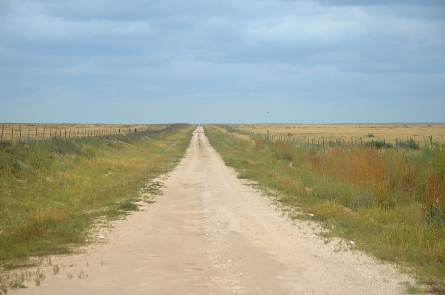
Photo: William L. Farr, CC BY 4.0, via Wikimedia Commons (https://commons.wikimedia.org/wiki/File:Rita_Blanca_National_Grassland,_West_High_Lonesome_Lane,_Dallam_County,_Texas.jpg). Cropped.
